A powerful storm is expected to bring periods of heavy rain, gusty winds, and the potential for severe thunderstorms throughout the southern to central Plains through Monday. Widespread precipitation and heavy mountain snow is expected across the Northwest and northern Rockies through Monday. Up to a foot of snow is possible across the higher elevations of the Cascades and northern Rockies. Read More >
Tampa Bay Area, FL
Weather Forecast Office
| Aviation Services: | ||
In support of the National Airspace System (NAS), the National Weather Service provides aviation weather forecasts to help pilots make informed and safe decisions before flying. Please see the information below for additional information. |
||

|
||
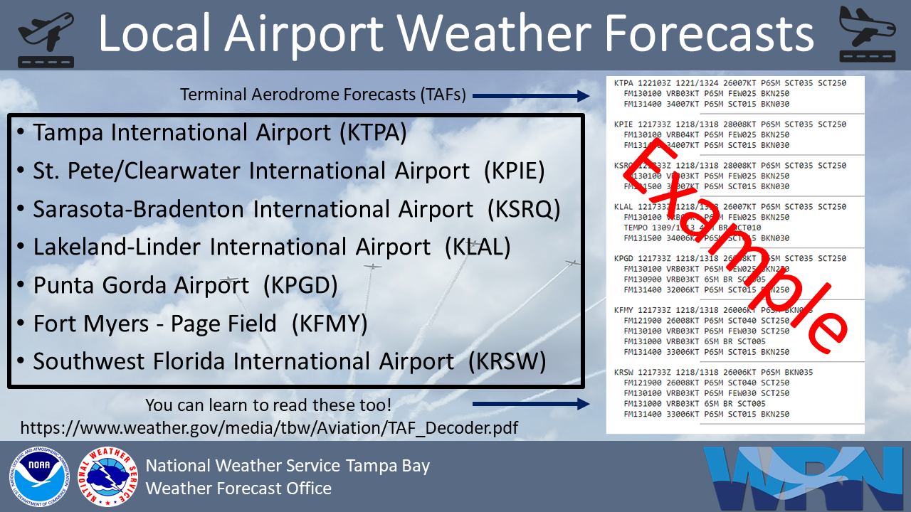
Terminal Aerodrome Forecasts (TAFs) from NWS Tampa Bay: |
TAF Impact Board: |
Aviation Advisories: |
||
Aviation Advisory information and current weather from the Aviation Weather Center and the Miami Center Weather Service Unit:
|
||
Enroute Weather: |
Surface Plots: |
Current Hazards
Outlooks
Graphical Hazards
Submit a Storm Report
Local Storm Report Map
Radar Imagery
Local KTBW Radar
Regional Radar
KTBW Radar Status
Current Conditions
Surface Observation Map
Satellite
Observed Precipitation
Local Beaches
Local Observations
Past Weather
Tropical Cyclone Reports
Weather Events
Weather History
Forecasts
Activity Planner
Aviation
Beach
Fire
Forecaster's Discussion
Graphical
Hydrology
Marine
Tropical
Probabilistic DSS
Climate
National
Local
Records and Normals
1991-2020 Climate Normals
Local Drought/Rainfall
Thunderstorm Climatology
El Niño Southern Oscillation
Arctic Oscillation
Climate Summaries
US Dept of Commerce
National Oceanic and Atmospheric Administration
National Weather Service
Tampa Bay Area, FL
2525 14th Ave. SE
Ruskin, FL 33570
(813) 645-2323
Comments? Questions? Please Contact Us.

