Lake Kivu
- French:
- Lac Kivu
News •
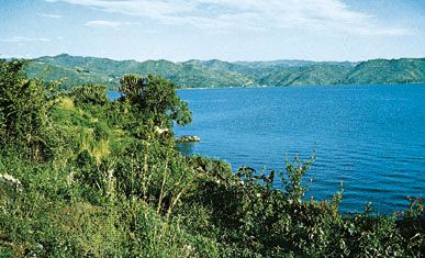
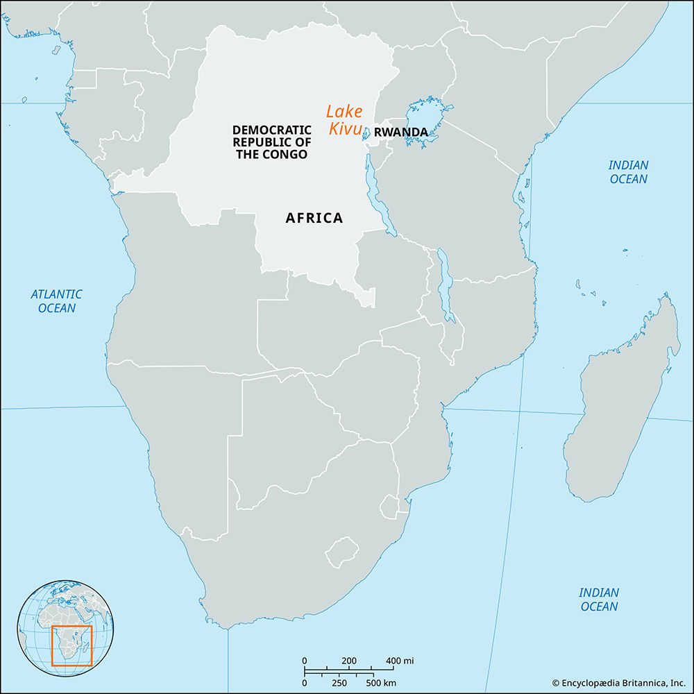
Lake Kivu, one of the great lakes of East Africa, situated between Congo (Kinshasa) to the west and Rwanda to the east. Lying at 4,790 feet (1,460 metres) above sea level, it occupies 1,040 square miles (2,700 square km) and is 55 miles (90 km) long (north-south) and 30 miles (50 km) wide (east-west). From an average depth of 722 feet (220 metres), it plunges to a maximum of 1,558 feet (475 metres). Lake Kivu has a rough, jagged coast and contains numerous islands, the largest of which is Idjwi. It was at one time part of a larger body of water that filled a structural trough in the Earth. Volcanic outpourings along its northern shore created a dam that separated Kivu from Lake Edward (Lake Idi Amin Dada), barred Kivu’s northern outflow, and reversed its drainage to the south through the Ruzizi (Rusizi) River into Lake Tanganyika.
The Mururu hydroelectric dam was completed at the Ruzizi River’s outlet in 1958. Kivu’s shores are densely populated, the principal towns being Bukavu and Goma in Congo and Gisenyi (Kisenyi) in Rwanda. The first European to visit the lake was the German explorer Count Adolf von Götzen in 1894. Although it is supplied with fish, the lake is poor in fauna but rich in volcanic substance. Great volumes of dissolved methane gases that may be developed as energy sources exist in its deep waters.


