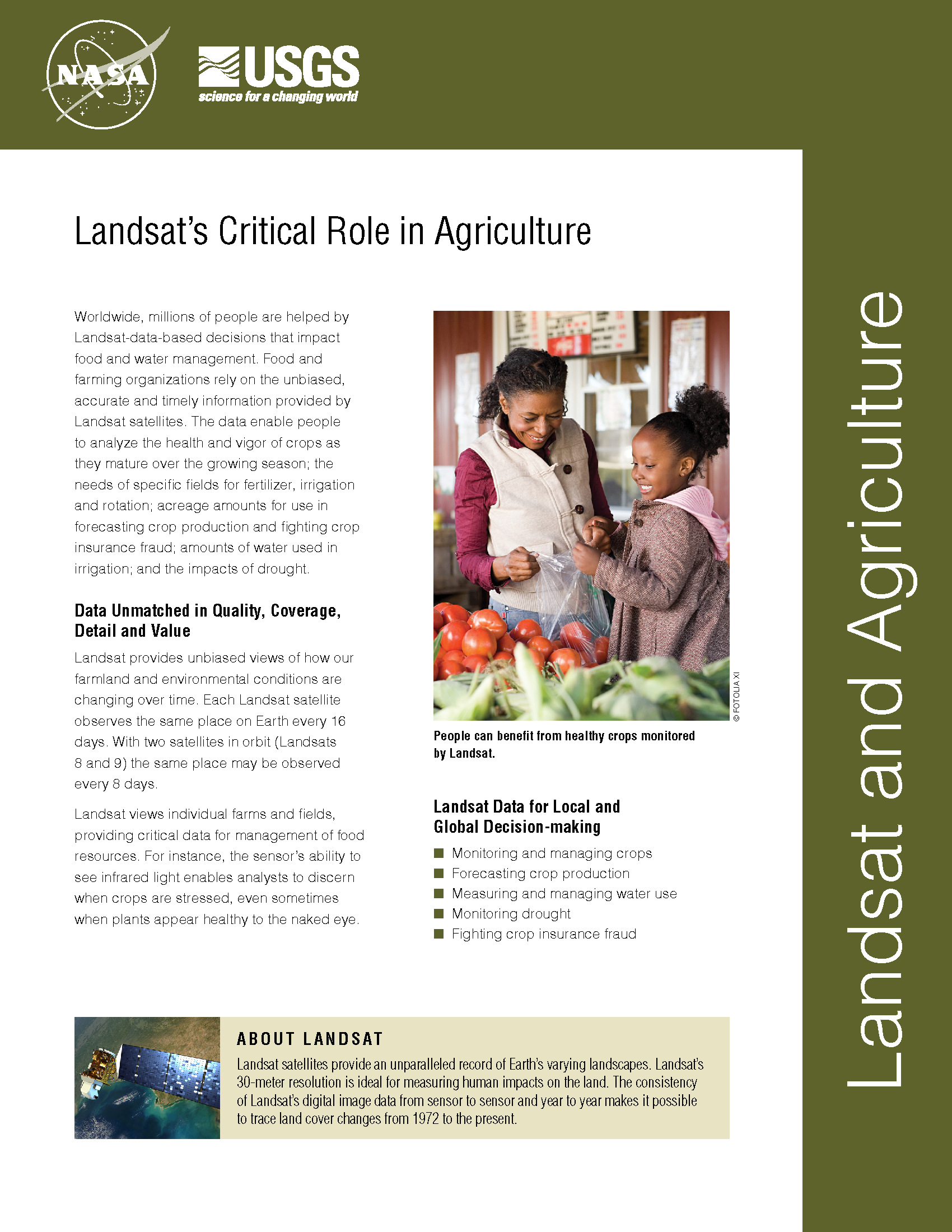
Landsat's Role in Agriculture and Food Security
Worldwide, millions of people are helped by Landsat-data-based decisions that impact food and water management. Food and farming organizations rely on the unbiased, accurate and timely information provided by Landsat satellites. The data enable people to analyze the health and vigor of crops as they mature over the growing season; the needs of specific fields for fertilizer, irrigation and rotation; planted acreage to forecast crop production and fight crop insurance fraud; how much water is used in irrigation; and the impacts of drought.
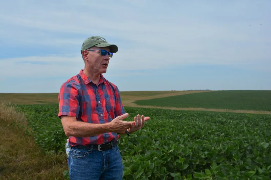
NASA’s Brad Doorn Brings Farm Belt Wisdom to Space-Age Agriculture
From his South Dakota roots to leading NASA’s agricultural program, Brad Doorn’s mission has remained the same: help farmers feed the world.
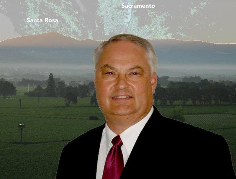
Tony Willardson, Water Watcher
With Landsat-based ET embedded in more and more water rights and conservation tools, Willardson and the Western States Water Council are eager to see Landsat Next with its higher spatial resolution, more frequent observations, and additional spectral bands, built and launched.
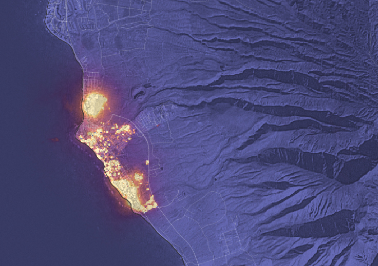
Landsat Observations Key Resource for Many Federal Agencies
In the FY23 Aeronautics and Space Report released on May 23, 2024, a multitude of Federal agencies report work informed by Landsat data.
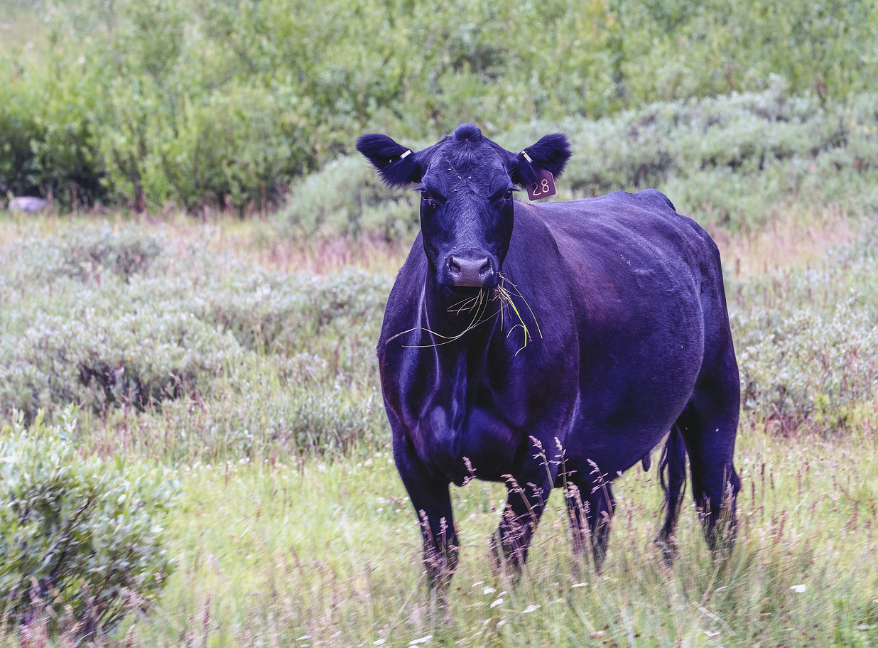
Meat of the Matter: Colorado River Over-Consumed
More water is taken from the Colorado River than it has to give. Better water use accounting made possible by Landsat provides needed guidance for difficult water use decisions.

Data in Harmony: NASA’s Harmonized Landsat and Sentinel-2 Project
NASA’s Harmonized Landsat and Sentinel-2 (HLS) project is a groundbreaking initiative that combines data from Landsats 8 & 9 with the European Space Agency’s Sentinel-2A & 2B satellites.
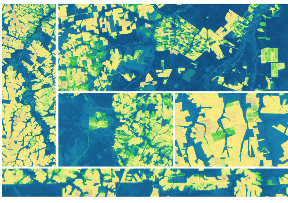
Expanding OpenET Across Amazon Basin
The research teams who help sustain the largest freshwater reserve in the world are developing a new tool to promote more resilient farming systems in Brazil. The goal is to help farmers better handle changes in the water cycle, deal with droughts, and adapt to a changing climate.

